Drone Services
As a licensed and insured FAA Part 107 Drone Pilot, I offer professional aerial photography, videography, and survey and inspection services throughout Santa Barbara and the California Central Coast. Whether you're in need of marketing visuals, inspections and surveys, or real estate imagery, you can expect top-quality results.
Per FAA regulations, all commercial drone pilots are required to have their Part 107 certification. Being a Part 107 drone pilot means I am up to date on rules and regulations, can operate safely and legally, and can acquire any needed permissions for flying in protected airspace.
Let’s bring your vision to new heights, safely and professionally!
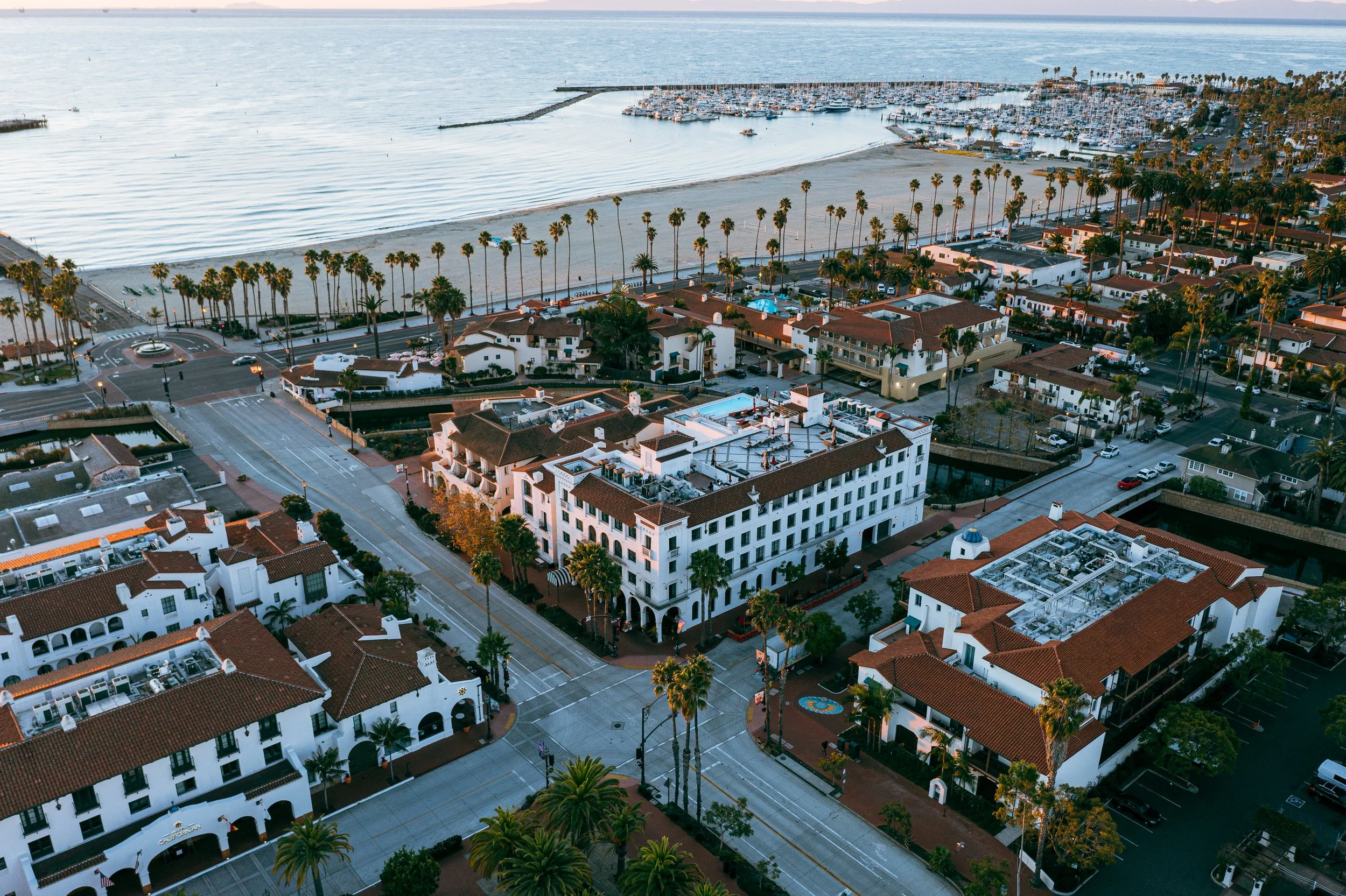
Drone footage elevates your brand by capturing stunning, dynamic visuals that grab attention and engage audiences. Stand out with unique aerial perspectives that make your marketing materials unforgettable.
Marketing
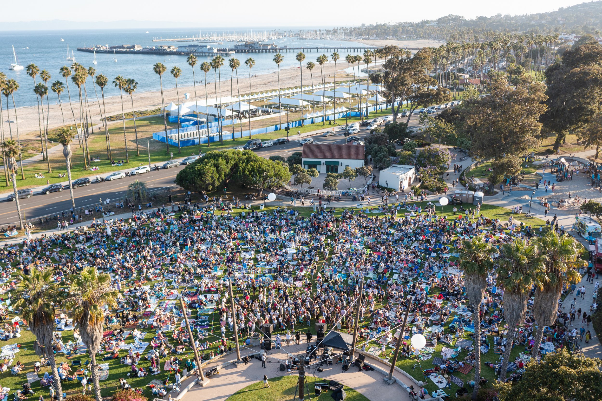
Capture your event from every angle with breathtaking drone footage. From grand aerial views to close-ups, show off the scale of your event with cinematic drone photos and video.
Events
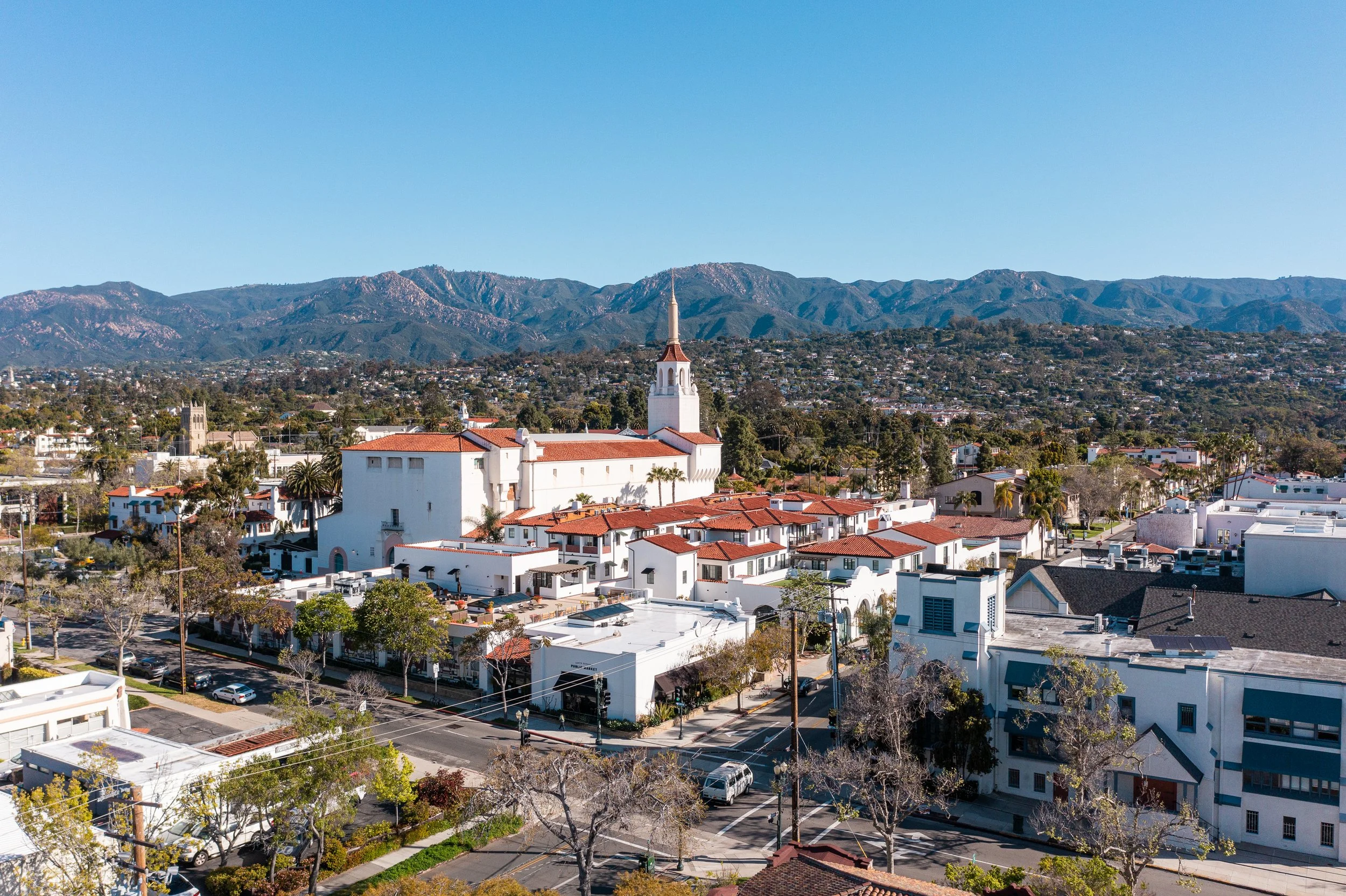
Showcase properties like never before with high-quality drone shots that provide breathtaking views, unique angles, and a full picture of the property’s surroundings—perfect for attracting buyers.
Real Estate
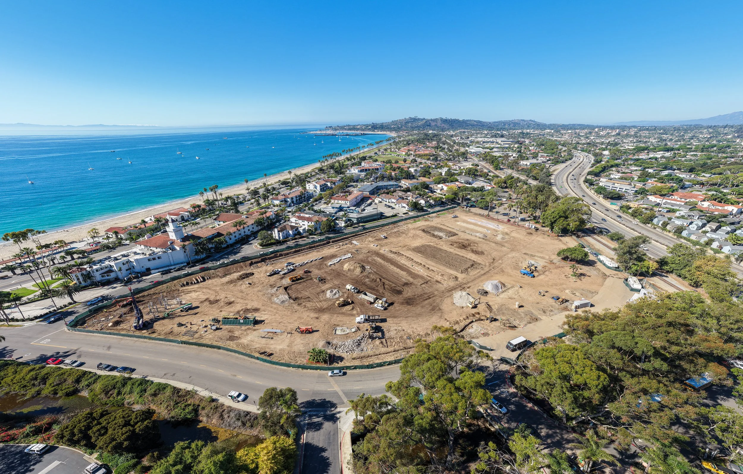
Track construction progress from the sky. Drone footage provides accurate, up-to-date aerial views that help monitor project timelines, site conditions, and logistics in real time.